Gyeongju travel courses 6
By length
Day trip 6
6–8 stops
-
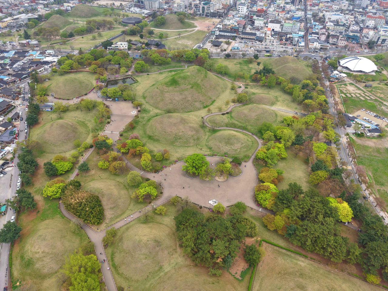
- 1Daereungwon Tomb Complex Area, GyeongjuStart
- 2Cheonmachong Tomb (Daereungwon Ancient Tombs)
- 3Gyeongju Hwangnidan Street
- + 4 more
- 8Donggung Palace and Wolji PondLast
Areas- Hwangnidan-gil · Daereungwon · Wolseong
- Stops
- 8
- Straight line
- 3.4 km
Photo: Daereungwon Tomb Complex Area, Gyeongju · Source: Korea Tourism Organization
-
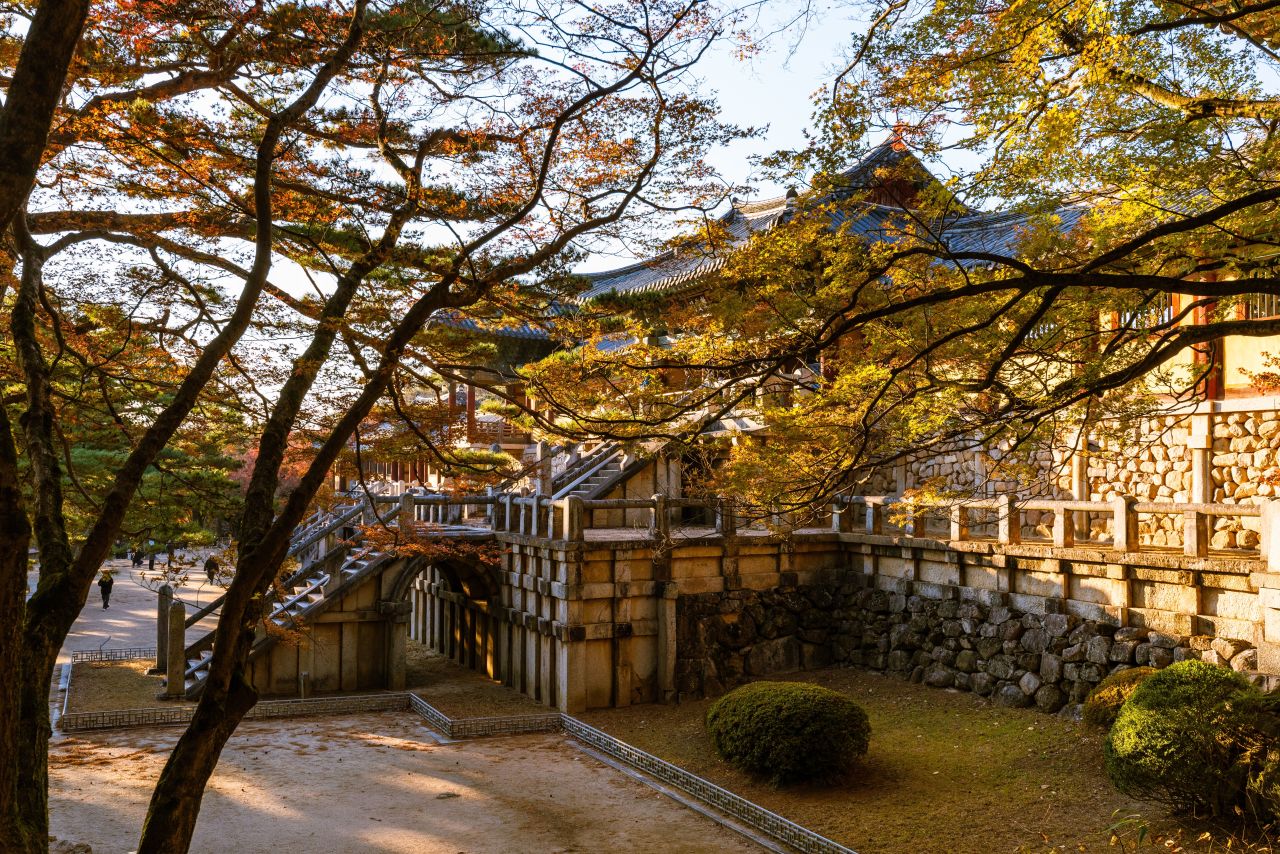
- 1Bulguksa Temple, GyeongjuStart
- 2Seokguram Grotto, Gyeongju
- 3Royal Tomb of King Sinmun, Gyeongju
- + 2 more
- 6Girimsa TempleLast
Areas- Bulguksa · Seokguram · Tohamsan
- Hwangnidan-gil · Daereungwon · Wolseong
- Stops
- 6
- Straight line
- 31.5 km
Photo: Bulguksa Temple, Gyeongju · Source: Korea Tourism Organization
-
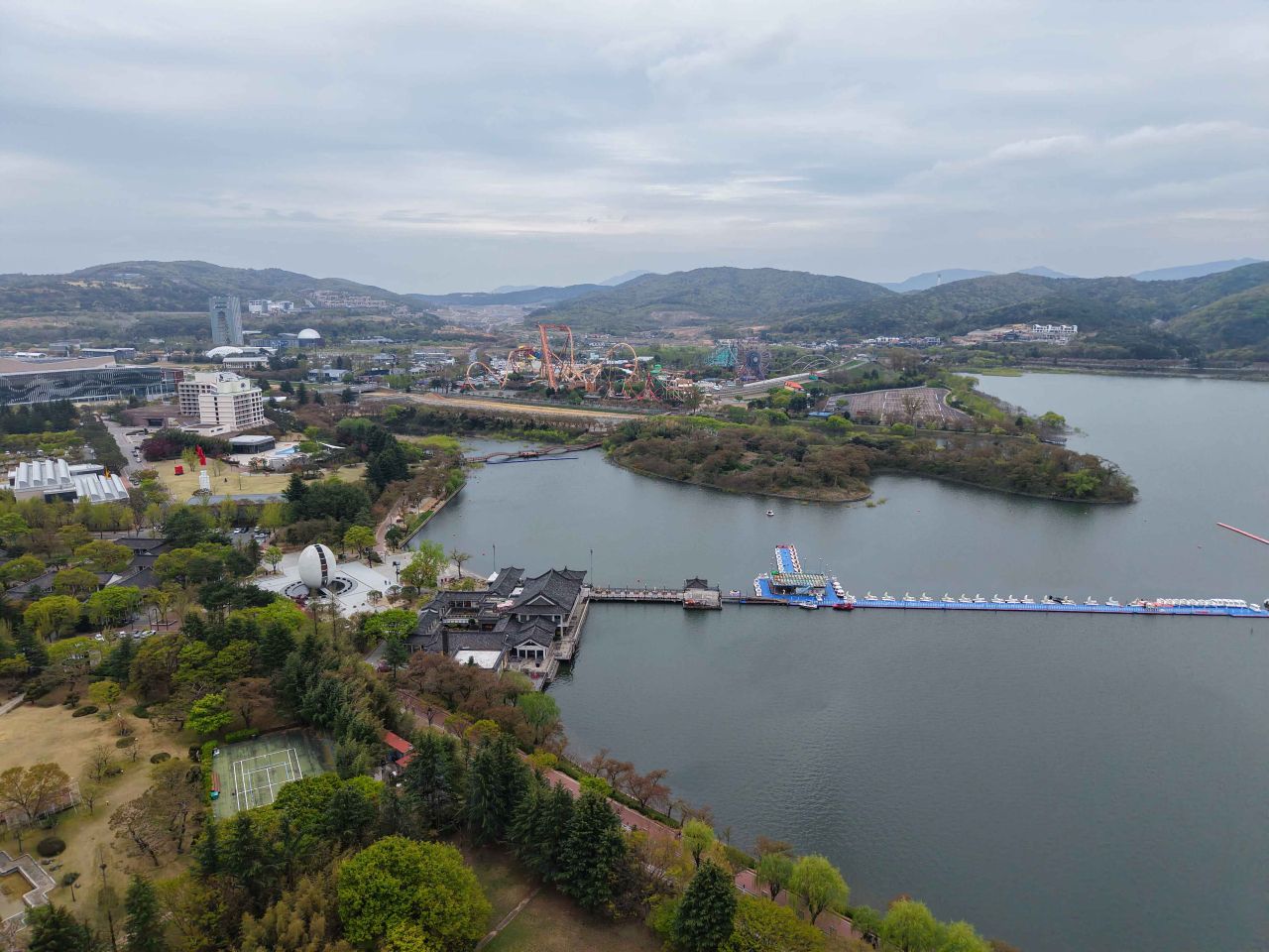
- 1Bomun Tourist ComplexStart
- 2Bomun Lake
- 3Bomunjeong Pavilion
- + 3 more
- 7Gyeongju National MuseumLast
Areas- Bomun Complex · Gyeongju World
- Hwangnidan-gil · Daereungwon · Wolseong
- Stops
- 7
- Straight line
- 11.6 km
Photo: Bomun Tourist Complex · Source: Korea Tourism Organization
-
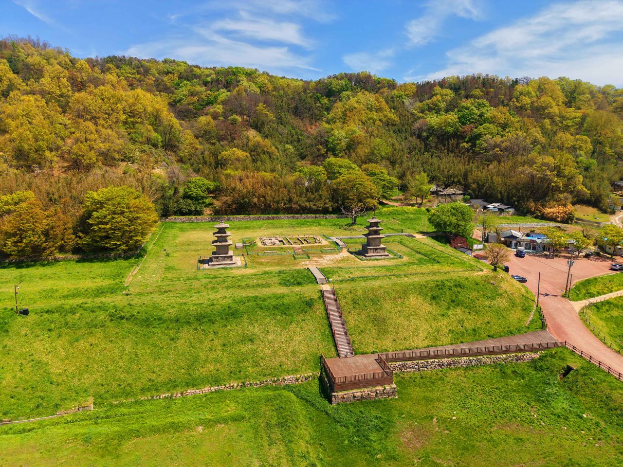
- 1Gameunsaji Temple SiteStart
- 2Igyeondae Pavilion, Gyeongju
- 3Tomb of King Munmu, Gyeongju
- + 3 more
- 7Gampo PortLast
Areas- Gampo · Tomb of King Munmu · East Coast
- Stops
- 7
- Straight line
- 21.9 km
- Closed days
- 1 stop closed on Mondays
Photo: Gameunsaji Temple Site · Source: Korea Tourism Organization
-

- 1Three Royal Tombs in Bae-dong, GyeongjuStart
- 2Samneung Forest
- 3Poseokjeong Pavilion Site, Gyeongju
- + 3 more
- 7Tongiljeon Ginkgo RoadLast
Areas- Hwangnidan-gil · Daereungwon · Wolseong
- Stops
- 7
- Straight line
- 5.9 km
- Closed days
- 1 stop closed on Mondays
Photo: Three Royal Tombs in Bae-dong, Gyeongju · Source: Korea Tourism Organization
-
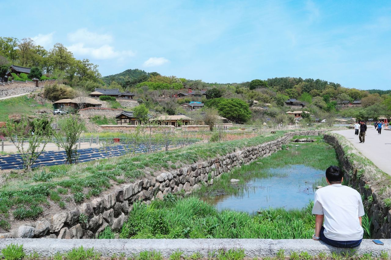
- 1Gyeongju Yangdong VillageStart
- 2Mucheomdang House in Yangdong, Gyeongju
- 3Songcheom Head Family House in Yangdong Village, Gyeongju
- + 2 more
- 6Royal Tomb of King Heungdeok, GyeongjuLast
Areas- Yangdong Village · Namsan · Seoak
- Stops
- 6
- Straight line
- 13.9 km
- Closed days
- 1 stop closed on Mondays
Photo: Gyeongju Yangdong Village · Source: Korea Tourism Organization
The straight line is the sum of the straight-line distances between the stops' coordinates, given only for a course with coordinates for every leg.
Areas are this site's travel areas, taken from the stops that have a place page.
Each card's photo shows one stop of its course: the first one not already shown on an earlier card. Photos: Korea Tourism Organization · KOGL Type 1